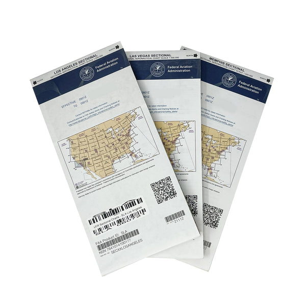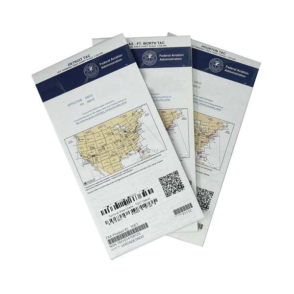


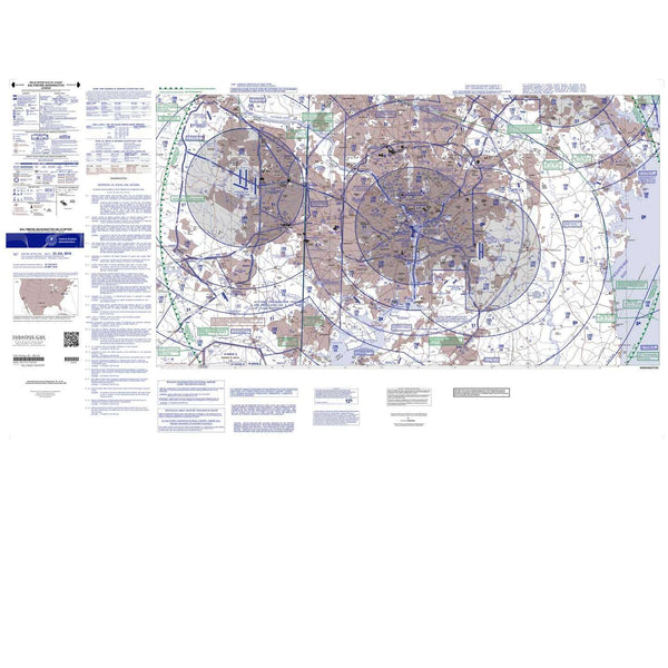


Helicopter Route Charts – Precision Navigation for High-Density Helicopter Operations
Enhance your flight planning and situational awareness with helicopter route charts from Pilots HQ, which are essential tools for helicopter pilots operating in high-density traffic areas. These charts are specifically designed to provide detailed information for navigating complex airspace where helicopter activity is concentrated, ensuring safe and efficient flight operations.
Key Features:
- Tailored for Helicopter Operations: Helicopter Route Charts are created specifically to meet the unique needs of helicopter pilots. They provide detailed information on helicopter routes, visual flight rules (VFR) corridors, and navigational landmarks in busy urban and high-traffic environments.
- High-Resolution Detail: These charts are produced at a scale of 1:125,000, offering a larger and more detailed view of the operational area, including critical information on altitude, obstructions, and other key factors that affect helicopter flight.
- Special Use Airspace: Marked restricted and prohibited areas help you avoid zones where helicopter operations are limited or regulated, ensuring compliance with airspace regulations.
- Helicopter-Specific Waypoints and Routes: Essential data on helicopter-specific waypoints, reporting points, and routes are depicted, facilitating precise navigation and enhanced situational awareness in complex airspace.
- Airport and Heliport Information: These charts provide comprehensive details on major airports and heliports, including approach and departure paths, runway and helipad layouts, frequencies, and services available, making them invaluable for safe and efficient flight operations.
- Optimized for Urban Environments: These charts provide detailed information on navigation through high-density areas with multiple helicopter routes, such as large cities and metropolitan areas, where precise route adherence is crucial.
Always Up-to-Date
Stay current with our Helicopter Route Charts, which are updated regularly to reflect the latest changes in airspace, routes, and navigational aids. Pilots HQ offers a convenient subscription service, ensuring you receive the most recent chart every time it's printed. This means no more worries about flying with outdated information – your charts will always be current.
52-day Chart Schedule
| January 25th | March 21st | May 16th | July 11th |
| September 5th | October 31st | December 26th |
Why Choose Pilots HQ for Your Helicopter Route Charts?
- Reliability: Pilots HQ is a trusted source for aviation supplies, boasting an exceptional customer satisfaction and review record. We understand the importance of receiving your charts on time, so we ship all our Helicopter Route Charts with valid tracking. Although it may be a bit more costly, this ensures that your charts are not lost in the regular mail system, giving you peace of mind and confidence in your navigation tools.
- Convenience: With our subscription service, you'll automatically receive updated charts, saving you time and ensuring you always have the latest information at your fingertips.
- Expert Support: Our knowledgeable team is here to assist you with any questions or concerns, ensuring you get the most out of your Helicopter Route Charts.
Elevate your flight planning and operational precision with Helicopter Route Charts from Pilots HQ. Whether you’re a commercial helicopter pilot or flying privately, these charts are crucial for navigating complex airspace with high concentrations of helicopter activity. Subscribe today and ensure you’re always flying with the most accurate and up-to-date information.
You might also like