


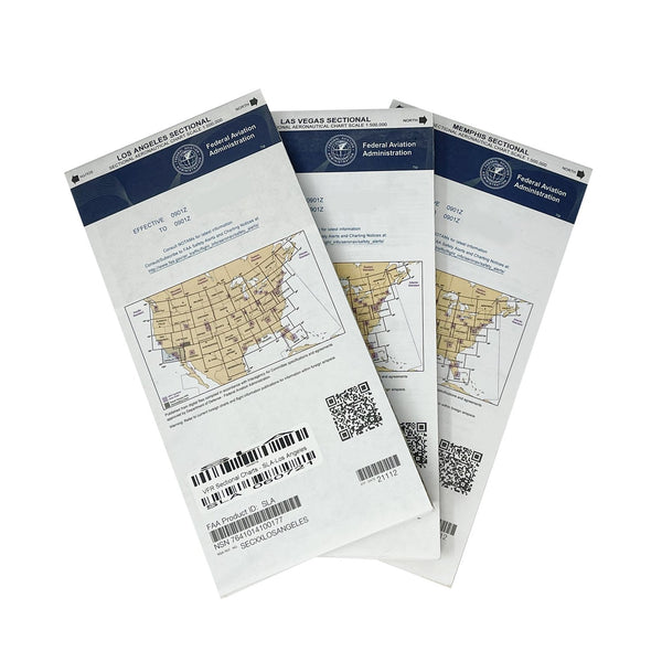
These expired charts are perfect for training or flight simulators.
THESE CHARTS ARE NOT FOR FLIGHT PLANNING OR NAVIGATION.
CURRENT CHARTS CAN BE FOUND AT BY CLICKING HERE!
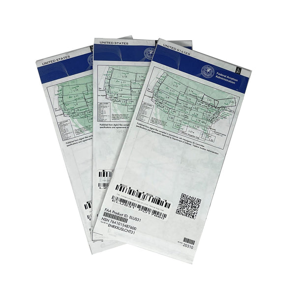
IFR Enroute Low Altitude Charts provide aeronautical information for navigation under instrument flight rules below 18,000 feet MSL. These four-color chart series includes:
- Air Traffic Services
- Airports that have an Instrument Approach Procedure or a minimum 3000' hard surface runway
- Airways/Route Data
- Cruising Altitudes
- Fixes/ATC Reporting Points
- Limits of controlled airspace
- Military Training Routes
- Off Route Obstruction Clearance Altitudes (OROCA)
- Radio aids to navigation
- RNAV Routes
- Special Use Airspace Areas
- Tabulations (MTRs, SUAs, MOAs, Airport data)
Area Charts, which show congested terminal areas at a large scale, are included with subscriptions to any conterminous U.S. Set Low (Full set, East or West sets). Charts are revised every 56 days.
You might also like


Federal Aviation Administration
Sale price
$6.00
Regular price
$7.95

Federal Aviation Administration
On Sale from $2.90
Regular price
$14.95