


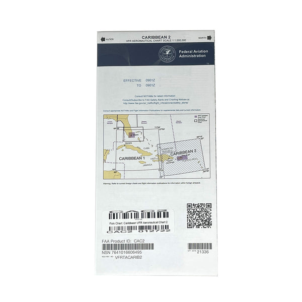
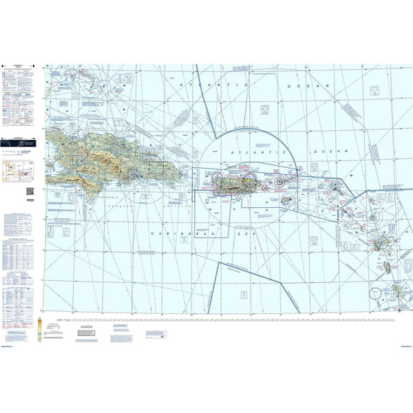
Caribbean VFR Aeronautical Charts 1 and 2 (CAC-1 and CAC-2) are designed for visual navigation to familiarize foreign aeronautical and topographic information. The aeronautical information includes visual and radio aids to navigation, airports, controlled airspace, special-use airspace, obstructions, and related data. The topographic information consists of contour lines, shaded relief, drainage patterns, and a selection of landmarks used for flight under VFR. Cultural features include cities and towns, roads, railroads, and other distinct landmarks. CAC-1 has been revised annually and consists of two sides measuring 30" x 60" each. CAC-2 is revised biennially and consists of two sides measuring 20" x 60" each.
You might also like


Federal Aviation Administration
Sale price
$6.00
Regular price
$7.95

Federal Aviation Administration
On Sale from $2.90
Regular price
$14.95